Idaho City Area
Back to HOME page - Back to Idaho Map
|
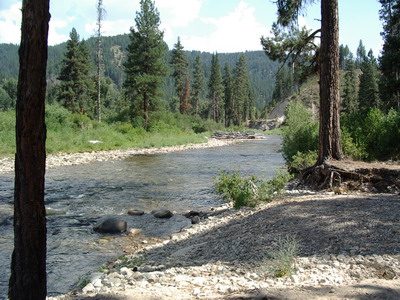
In August, 1862, a prospecting party with Moses Splawn, Dave Fogue and George Grimes discovered placer gold about seven miles northwest of what is now Idaho City. Grimes was shot, perhaps by Indians, and the party returned to Walla Walla. Their news made the area, known as Boise Basin (eighteen miles square), the scene of the biggest gold rush since California's Mother Lode. The party returned from Walla Walla in October, and founded Pioneer City (Pioneerville). Three other camps soon studded the creek banks: Placerville, Centerville, and Bannock City, which was renamed Idaho City by the Territorial Legislature. Southeast of Idaho City are the tributaries' of the main Boise River. The North Fork, Middle Fork, South Forks and Big Smokey, a tributary of the South Fork are wonderful recreation areas. |
|
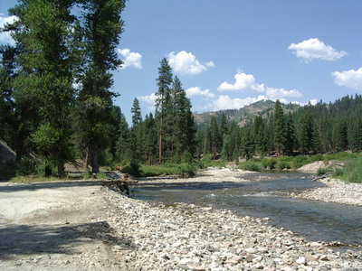
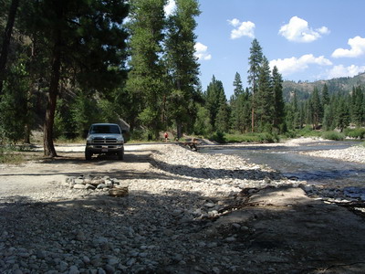
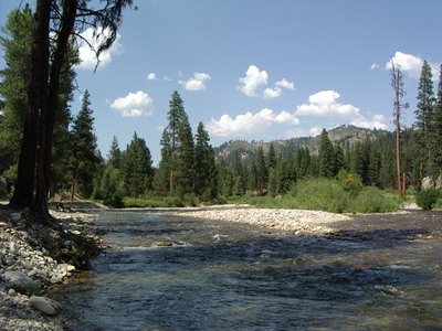
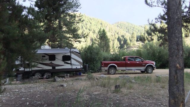
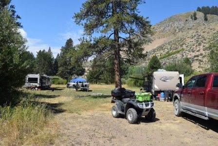
2017 Camping trip to Big Smokey on the South Fork of the Boise River. July 24 to August 2, 2017 |
||||||||||||
 |
||||||||||||
|
|
||||||||||||


|
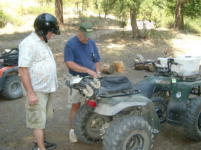
2016 Camping trip to Big Smokey on the South Fork of the Boise River. July 28 to August 7, 2016 |
||||||||||||||
|
|
||||||||||||||
|
|
||||||||||||||


|
2007 Camping trip to the North Fork of the Boise River. August 1, to 9, 2007 |
||||||
|
|
||||||